Precisely Data
Addresses
Precisely Address datasets are built with highly accurate geocoding to ensure each location is represented correctly. Property Feature datasets contain details related to property owner, zoning, land use, and condition of a specific address. World Addresses datasets are pre-geocoded nationwide lists with the most accurate latitude and longitude coordinates for each location.
Precisely Boundaries
Contiguous global boundary coverage provides a named boundary for any location in the world. This allows you to define areas populated by people with shared beliefs, needs, and experiences, whether in a neighborhood in a densely populated area or in a suburban residential enclave. State, county, postcode, or census block group level boundaries enable large scale analysis and aggregation.
Community Boundaries
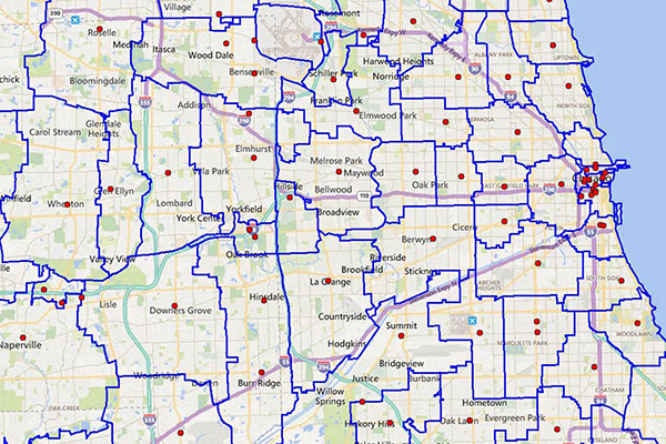
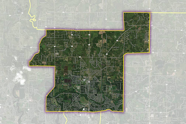
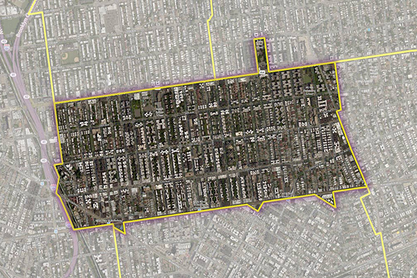
Neighborhood Boundaries = Neighborhood Boundaries identifies and names neighborhoods as they are experienced by local residents. In addition to a hierarchy of precisely validated names and boundaries, it provides data on the population, demographics, culture and other attributes that make a cohesive neighborhood.
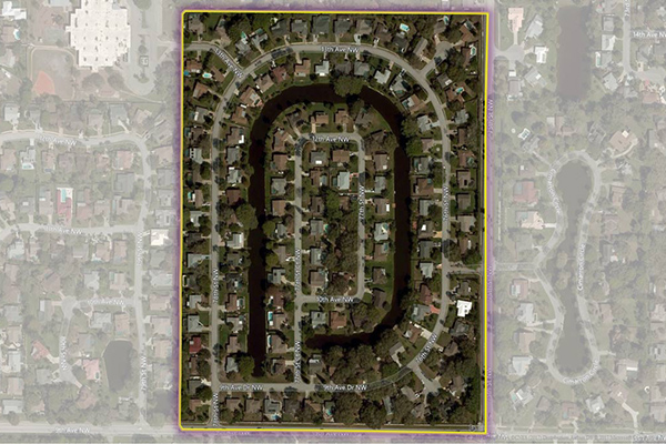
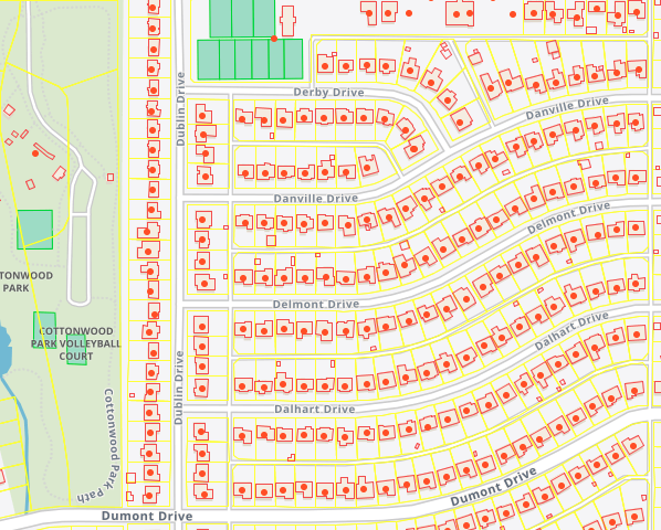
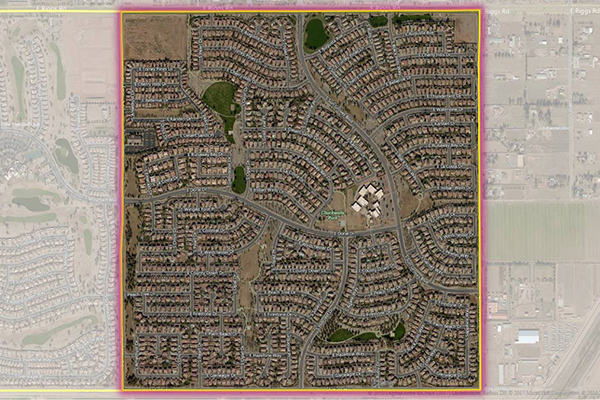
Residential Boundaries = Residential Boundaries provides geographic boundaries, names, and other locational classifications that define the extent and character of residential neighborhoods. Each polygon covers geography that consists of at least 90% residential housing, including homes, condos, and apartment complexes.
School Boundaries = School Boundaries provides three layers of geographic information, including school points, school districts, and school attendance zones, for more than 10,000 school districts in the United States.
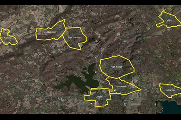
US Municipal Boundaries = Boundaries contains up-to-date information on the boundaries of incorporated municipalities.
Postcode and Administrative Boundaries Box Around
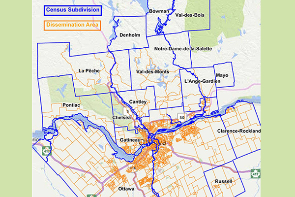
Census Boundary Bundle – Canada = Census Boundary Bundle represents complete hierarchies of political and census boundaries for Canada. Updated every 5 years.
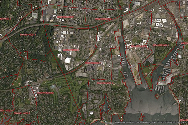
Census boundary Bundle-US = 7 Layers including Census block, Census Block Groups, Census Tracts, Counties, Minor Civil Divisions (MCD’s), Places, and States. Can be purchased separately
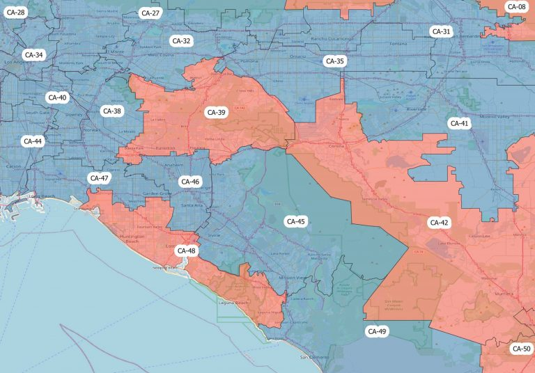
Congressional Districts = The dataset includes population estimates, contact information, and party affiliation for each current congressional representative at the time, along with previous congressional districts for historical comparison.
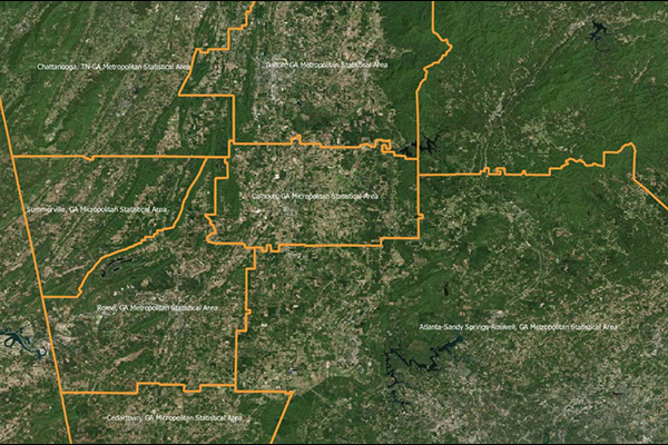
Core Based Statistical Areas (CBSA) = 900 Statistical Regions defined by Office of Management and Budget (OMB)
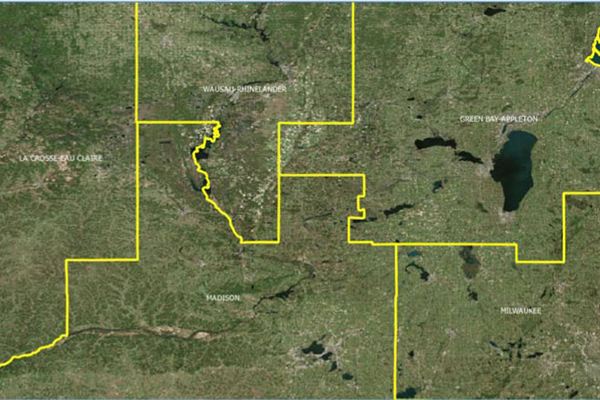
Designated Market Areas = Designated Market Areas (DMAs) delineate the geographic boundaries of 210 distinctive regions to assess TV penetration of audience counts within the U.S. for a viewership year.
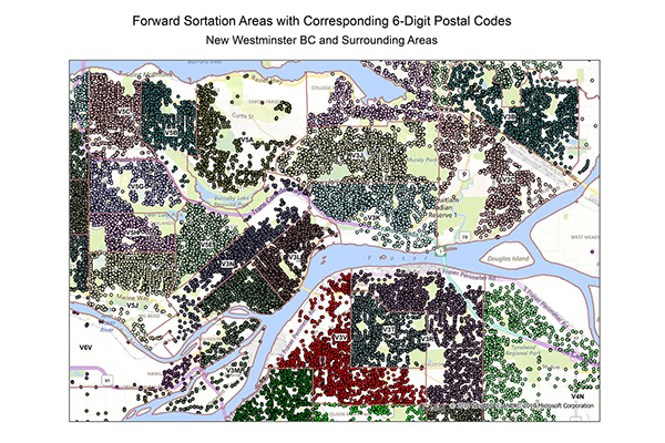
FSA and 6-Digit Postal Codes = The FSA file contains the polygon boundary files and centroids for Canada’s Forward Sortation Areas (FSAs). The 6-Digit Postal Codes file contains over 800,000 postal records and over 4,000 new postal codes. Can be purchased separately
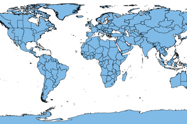
World Postcode and Administrative Boundaries = This dataset offers a single, global data package that aggregates worldwide postal and administrative boundaries into a single product, with separate administrative level files by geography and a consistent, single table structure format used for all countries to ensure ease of use.
World Time Zone Boundaries = World Time Zone Boundaries provides spatial representation of the world’s lands and waters by time zone.
ZIP Codes and Carrier Routes = Carrier Routes, ZIP Plus 4s and ZIP Code Boundaries and Centroids. Can be purchased separately
Insurance Boundaries
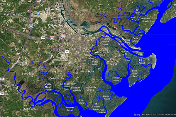
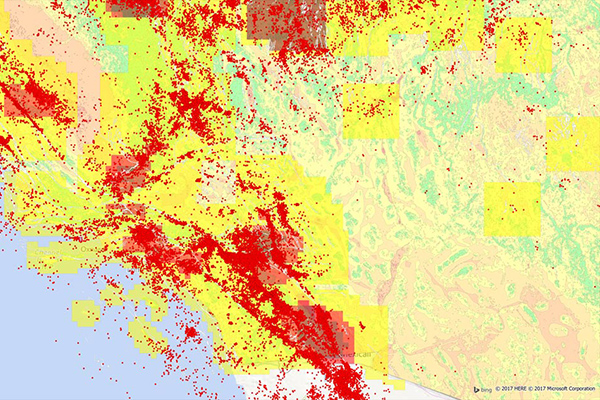
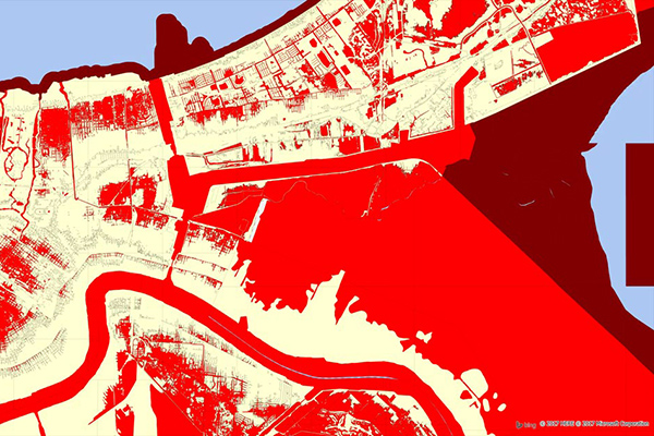
Coastal Risk = Coastal Risk contains information pertinent to shorelines and coastal areas subject to hurricanes, storm surge, flooding, and other natural disasters. This dataset depicts the shape of the shoreline, name of the coastal water, and proximity to the nearest coastline.
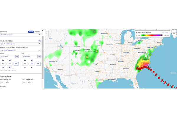
Dynamic Weather = Dynamic Weather is an API enabled, weather enrichment service for real time, forecast, and historical inquiries. Perfect use within Spectrum Spatial.
Earth Risk = Earth Risk provides nationwide coverage of land related risks including earthquakes, landslides, lava flows, sinkholes, and hazardous soils.
Flood Risk = Sourced from the United States Geological Survey (USGS), the National Earthquake Information Center (NEIC), the Earthquake Hazards Program, and AMLIS (Abandoned Mine Land Inventory System).
Property Fire Risk = Property Fire Risk is a compilation of fire departments and fire stations across the United States featuring proximity measurements and drive times from each physical address.
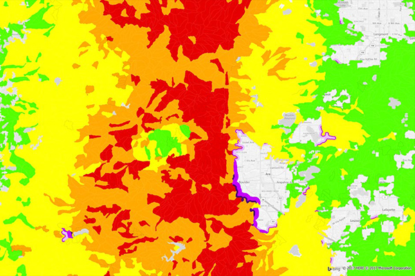
Wildfire Risk = Wildfire Risk is a scientific and up-to-date wildfire hazard and risk assessment database.
Precisely Demographics
Precisely Demographics is a robust collection of world demographic data, geodemographic data, and consumer context data designed to help you understand people and the places where they live, work, and do business.
These datasets offer you information for over 140 countries and territories worldwide, and empower you to conduct your analysis at the scale you need.
Consumer Spend Potential = Consumer Expenditure provides consumer spending data across a broad range of categories. Annual expenditures are calculated using the ratio between disposable income, demographics, and expenditures for products and services derived from household budget surveys from national statistical offices.
Demographics Insights Bundle = The Demographics Insights Bundle is a collection of variables from various Precisely Enrich Demographics products. The variables have been selected to enable consistency across multiple boundary resolutions from Statistical Area 1 through to 4 digit postcodes.
Estimates and Projections = Total population, Total households,Population characteristics such as age, sex, and composition, Household characteristics such as income. These variables are updated to current year and projection values, using rigorous, proprietary processes.
Estimates and Projections Wealth = Estimates and Projections Wealth data estimates the various components that make up household wealth in Canada, including specific assets and liabilities and net worth. Users can model the relationship between multiple demographic variables to determine the likelihood that a specific household will own a particular type of financial asset (incidence rate) and if so, the probable value of that asset.
GroundView Demographics = GroundView datasets deliver vital socioeconomic information within a geographic context for a deeper understanding of current and potential markets. It includes information such as household income, race, and consumer spending habits.
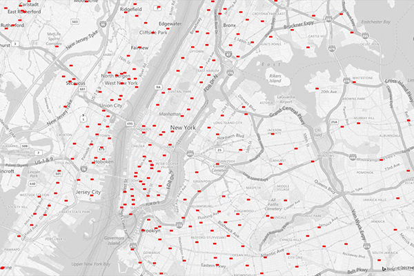
Daytime Population = Daytime Population provides estimates of the number of people who are likely to be within a designated area during normal business hours.
Demand Insight Financial = Demand Insight Financial provides current estimates and five-year projections of branch-based demand for twenty consumer and small business banking products.
CrimeIndex & Context CrimeIndex = Context Crime Index combines Crime Index and Neighborhood Boundaries to provide a comprehensive view of crime data for a neighborhood or local region. Murder, Rape, Robbery, Aggravated Assault, Burglary, Larceny-Theft, Motor Vehicle Theft, Arson.
Dynamic Demographics = Boundaries and Demographics, with mobile location data. Dynamic Demographics offers an alternative to products that create customer profiles based only on generalized data from “observed behavior.” Instead, it offers a model that blends information about mobile location data with other validated datasets such as demographics, to better predict customers actions. Combining mobile location data with socioeconomic attributes, purchasing power indicators, and segmentation allows you to make better decisions with keener insight into who your customers are, what they need, and where potential markets exist.
Precisely Streets = Precisely Streets is comprised of multi-sourced, topologically correct datasets for over 200 countries and territories around the world. Products include fully attributed vector datasets with street, address, transportation, land use, water feature, and points of interest information. Multi-scale basemaps are designed to interact with these vector datasets for detailed geographic analysis.
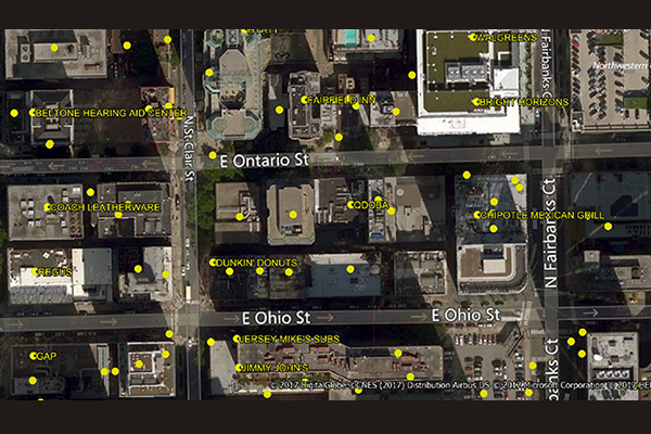
Precisely Points of Interest
Precisely Points of Interest (POI) datasets are multi-sourced and geocoded with Precisely’s world-class geocoding solutions to provide accurate location and company information for businesses, leisure, and geographic features in more than 170 countries and territories around the world.
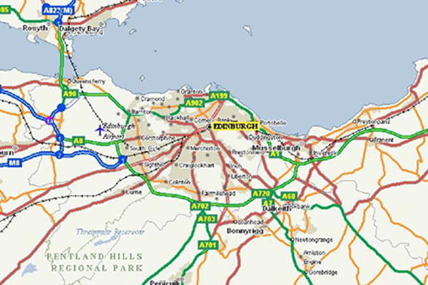
Precisely Streets
Precisely street-level data for mapping, analysis, routing, and geocoding. Multi-sourced, topologically correct datasets for over 200 countries and territories around the world. Streets and Mapping for display, navigation for the us and around the world.
- StreetPro Classic used for Display and Routefinder
- StreetPro Display for creating the perfect map
- StreetPro Navigation for Routing and Navigation around the world
- StreetPro Traffic includes Traffic volumes for the StreetNetworks using multi-feeds of data.
